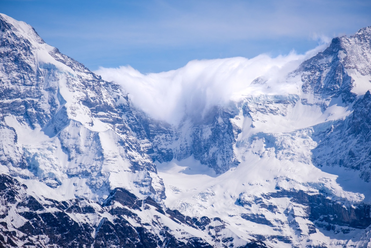
After a wonderful, summer-like weekend, strong winds and storms have been forecast for the next few days. The “Föhn” wind has already arrived this evening; the first signs of which were evident on the Jungfraujoch ridge this afternoon.
Warm, moist wind blowing up from the Mediterranean and Italy encounters the Alps and is driven upwards, where it condenses into cloud and mist on the higher peaks. (In the photo, this cloud is being driven over the ridge between the Mönch and Jungfrau peaks and beginning to cascade down towards the valleys of the Jungfrau Region.) The air flow, now dry after ditching its moisture in the mountains, continues over the peaks and accelerates as it descends, causing much warmer temperatures and high winds.

