A neighbour spent the weekend hiking to a mountain hut in the upper regions of the Grimsel region, which reminded me that we’d never hiked to one of the more accessible glaciers there. So we drove up to the Grimsel Pass, where you can turn off the main road onto the tolled (CHF 5), one-way, timed-access Panoramastrasse Oberaar and head for the remote car park at the end of the road.

From the car park next to the dam and the Berghaus Oberaar, the day’s destination was clearly visible at the far end of the Oberaarsee reservoir. According to our maps, the hiking path was comparatively flat and easy to navigate over a six-kilometre round walk, reaching the tip of the huge glacier at the furthermost point. (The walk turned out to be a ten-kilometre round trip, probably due to the retreating glacier or a miscalculation on my part.) The glacier is sufficiently remote that it’s less well-known to tourists, and the car park containing just a couple of dozen vehicles prophesied a quiet day.


Passing several couples and individuals along the way, Grüessech-ing as we went, we quickly settled into our walk and enjoyed the warm sun and the views along the glacial valley ahead. The whole valley is a combination of rocky and sandy terrain, interspersed with grasses nearer the dam and succulents and wild flowers nearer the glacier. The nature of the landscape is relatively common in Switzerland: a somewhat dusty, other-worldly environment caused by constant erosion of the rock by the expanding (and now retreating) glaciers over thousands of years.

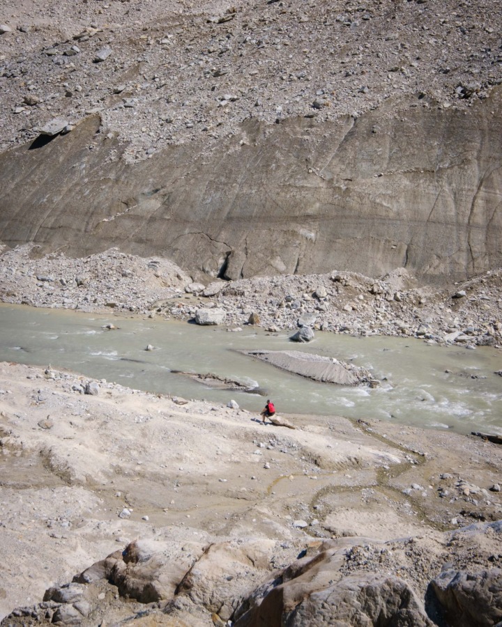
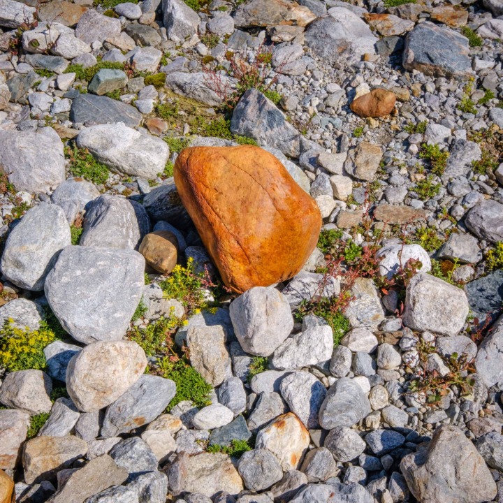
One we neared the glacier itself, the landscape changed to a much more rocky environment, where the comparative youth of the exposed landscape means fewer established plants like grasses and bushes, and more hardy plants less dependent on water such as succulents and flowers. Although the steep, scree-covered sides to the valley appear to be entirely formed of rock, we realised that smoother patches near the visible end of the glacier were actually smooth ice dirtied by a covering of rock and sand. Once we crossed the sandy beach at the glacier’s terminus, we arrived at the point which I’d wanted to see up-close: a large ice cave from which the glacier’s water outflow pours.

Any thoughts of actually entering the cave were immediately dashed on seeing it; unlike the glassy, solid structures which one sees in places like Iceland, this cave was much softer and unstable. As we sat for a while a safe distance away, regular cascades of small rocks from the lip of the cave roof showed that it was a bad idea to get any closer. We contented ourselves with watching the rock falls, taking photos, and trying to work out how much of the surrounding sand and rock was actually sitting on a layer of buried ice.